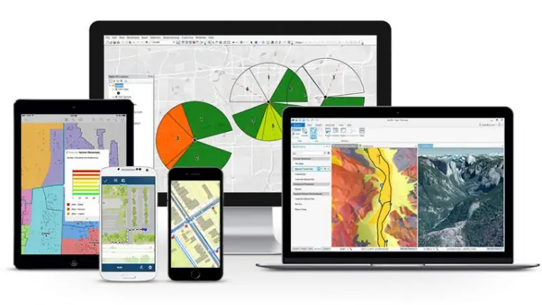
Gis Development
Application Development
As a part of the solution, we designed, developed and maintained custom geospatial application services, as per the standards laid by the customer.Dectton Survey identified 9 kinds of functionalities linked with the product encompassing Open Chart All, Point Selector, Entire Rectangle, Part Rectangle, Entire Polygon, Part Polygon, Set Arcs Path, Maintenance User Interface and Lite Viewer and subsequently developed ARCS for GIS for ESRI, ARCS for GIS for Geomedia 6.1 and ARCS for GIS for Geomedia Essential 2014.
